
Map Viewer
What is the Map Viewer?
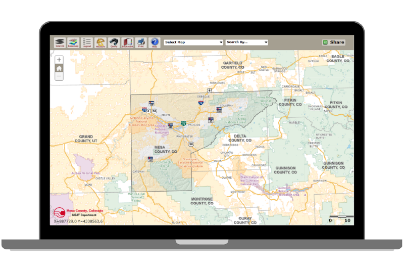
The Viewer lets you view interactive digital maps and property records for Mesa County, Colorado.
What You Can Search
- Location: Street address, road intersection (e.g., 23 Rd and G Rd), or current GPS location.
- Property: Parcel number, account number, or owner name.
- Land grid: Subdivision name, township, range, and section.
What Layers You Can View
- Boundaries: Property lines, school districts, and local government limits.
- Planning: Zoning districts and elevation data.
- Infrastructure: Transportation routes and local features.
- Survey records: Survey plats, right-of-ways (ROW), and GPS monument coordinates.
Help video
Watch the video below for information on how to use the Map Viewer.